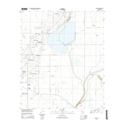
2015 Map of Swartz
USGS Topo · Published 2015About this map
Puckettville and the surrounding northeast Louisiana parishes are defined by a complex network of waterways and low-lying basins during the mid-2010s. The landscape is structured by significant drainages including Bayou Lafourche, Puckett Slough, and Bayou Galion, which weave through the tri-parish border region of Ouachita, Morehouse, and Richland. The presence of the Swan Lakebed and Alligator Lake highlights the alluvial character of this Mississippi Delta territory.
Find a feature on this map
85 named features on this map. Tap any name to fly to it.
Don’t see what you’re looking for? This feature index may not catch every label — zoom into the map to look around manually.
Map Details
Editions of this 2015 Swartz Map
This is the sole edition of this map. No revisions or reprints were ever made.
Other maps of this area
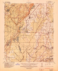
1935 · Collinston
USGS Topo · 1:62,500
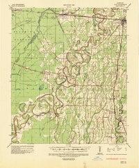
1935 · Alto
USGS Topo · 1:62,500
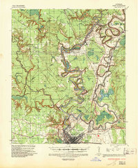
1935 · Drew
USGS Topo · 1:62,500
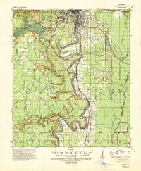
1940 · Monroe
USGS Topo · 1:62,500

1955 · Jackson
USGS Topo · 1:250,000

1955 · Shreveport
USGS Topo · 1:250,000

1956 · Shreveport
USGS Topo · 1:250,000
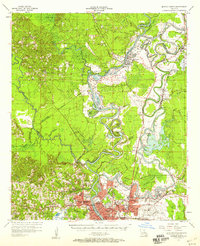
1957 · Monroe North
USGS Topo · 1:62,500
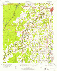
1957 · Mangham
USGS Topo · 1:62,500
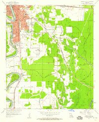
1957 · Monroe South
USGS Topo · 1:24,000