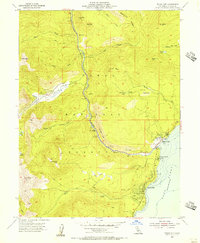
1955 Map of Tahoe City
USGS Topo · Published 1956About this map
Lake Tahoe serves as the focal point of this mid-1950s survey of the High Sierra's western shore. The settlement at Tahoe City is shown in detail, including the Tahoe Lake Sch, a Cem, and the nearby Tahoe Tavern. To the south, Sunnyside and the Wm Kent Gd Sta Campground line the lakefront, while the Truckee River snakes northward out of the lake past the Silver Creek Campground.
Find a feature on this map
46 named features on this map. Tap any name to fly to it.
Don’t see what you’re looking for? This feature index may not catch every label — zoom into the map to look around manually.
Map Details
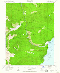
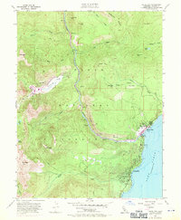
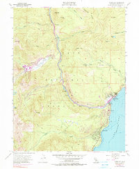
Editions of this 1955 Tahoe City Map
4 editions found
Other maps of this area

1891 · Truckee
USGS Topo · 1:125,000

1893 · Truckee
USGS Topo · 1:125,000

1895 · Truckee
USGS Topo · 1:125,000

1932 · Truckee
USGS Topo · 1:96,000

1940 · Truckee
USGS Topo · 1:125,000

1953 · Granite Chief
USGS Topo · 1:24,000
1953 · Wentworth Springs
USGS Topo · 1:24,000

1953 · Granite Chief
USGS Topo · 1:62,500
1955 · Homewood
USGS Topo · 1:24,000

1955 · Truckee
USGS Topo · 1:24,000