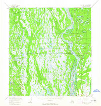
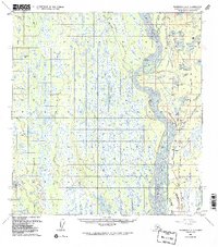
1958 Map of Talkeetna A-1
USGS Topo · Published 1965About this map
The Alaska Railroad corridor serves as the primary spine of development in this interior region during the late 1950s, following the Susitna River valley. The landscape is a dense network of glacial features, characterized by the Rocky Lakes and extensive wetlands fed by Kroto Creek and Moose Creek. Human presence is largely defined by the rail infrastructure, including the settlement of Montana and technical markers like Section House Lake.
Find a feature on this map
49 named features on this map. Tap any name to fly to it.
Don’t see what you’re looking for? This feature index may not catch every label — zoom into the map to look around manually.
Map Details
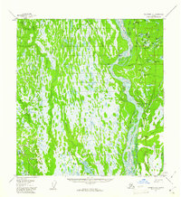
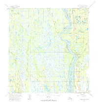
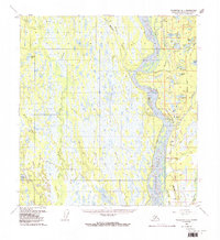
Editions of this 1958 Talkeetna A-1 Map
5 editions found
Other maps of this area

1949 · Tyonek
USGS Topo · 1:250,000

1949 · Talkeetna Mountains B-6
USGS Topo · 1:63,360

1949 · Anchorage D-8
USGS Topo · 1:63,360

1950 · Talkeetna Mountains
USGS Topo · 1:250,000

1950 · Talkeetna
USGS Topo · 1:250,000

1950 · Talkeetna Mountains A-6
USGS Topo · 1:63,360

1951 · Talkeetna
USGS Topo · 1:250,000

1951 · Talkeetna B-1
USGS Topo · 1:63,360

1951 · Anchorage
USGS Topo · 1:250,000

1951 · Tyonek
USGS Topo · 1:250,000