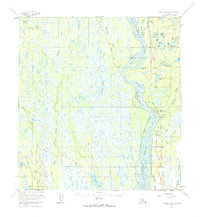
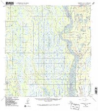
1958 Map of Talkeetna A-1
USGS Topo · Published 1984About this map
The Susitna River dominates this mid-century landscape, carving a braided path through the Matanuska-Susitna region. Along its eastern bank, the Alaska Railroad serves as the primary corridor for movement, connecting small settlements like Sunshine and Montana. The interior is defined by a dense network of wetlands and uniquely named water bodies, including the sequential Lake One through Lake Six, and the curiously titled Question Lake and Little Question Lake.
Find a feature on this map
49 named features on this map. Tap any name to fly to it.
Don’t see what you’re looking for? This feature index may not catch every label — zoom into the map to look around manually.
Map Details
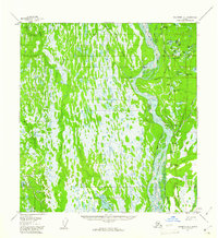
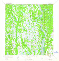
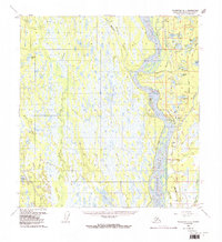
Editions of this 1958 Talkeetna A-1 Map
5 editions found
Other maps of this area

1949 · Tyonek
USGS Topo · 1:250,000

1949 · Talkeetna Mountains B-6
USGS Topo · 1:63,360

1949 · Anchorage D-8
USGS Topo · 1:63,360

1950 · Talkeetna Mountains
USGS Topo · 1:250,000

1950 · Talkeetna
USGS Topo · 1:250,000

1950 · Talkeetna Mountains A-6
USGS Topo · 1:63,360

1951 · Talkeetna
USGS Topo · 1:250,000

1951 · Talkeetna B-1
USGS Topo · 1:63,360

1951 · Anchorage
USGS Topo · 1:250,000

1951 · Tyonek
USGS Topo · 1:250,000