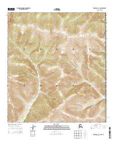
2015 Map of Tanacross B-1 NE
USGS Topo · Published 2015About this map
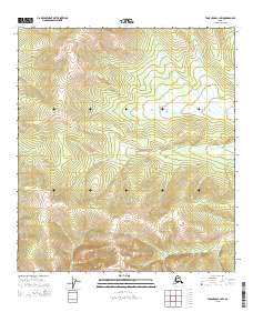
High-altitude interior terrain dominates this 2015 survey of the Southeast Fairbanks Census Area, where the landscape is defined by massive ridges and drainages. The single named watercourse, Deep Cr, flows through the northeastern portion of the map, carving a path through the steep contours. This area, divided by the township lines of t20n r22e and t19n r23e, reflects the vast, undeveloped nature of the Alaska-Yukon borderlands. The intricate contour lines illustrate a region of significant elevation changes, characteristic of the remote wilderness north of the Tanana River Valley. While devoid of man-made structures or roads, the map provides a precise topographical record of the natural watershed and land divisions within the United States of America.
Find a feature on this map
9 named features on this map. Tap any name to fly to it.
Don’t see what you’re looking for? This feature index may not catch every label — zoom into the map to look around manually.
Map Details
Editions of this 2015 Tanacross B-1 NE Map
This is the sole edition of this map. No revisions or reprints were ever made.
Other maps of this area

1949 · Tanacross
USGS Topo · 1:250,000

1950 · Tanacross
USGS Topo · 1:250,000

1956 · Tanacross C-1
USGS Topo · 1:63,360
1956 · Tanacross B-1
USGS Topo · 1:63,360

1956 · Tanacross
USGS Topo · 1:250,000

1964 · Tanacross
USGS Topo · 1:250,000
2015 · Tanacross B-1 SE
USGS Topo · 1:25,000
2015 · Tanacross C-1 SE
USGS Topo · 1:25,000
2015 · Tanacross C-1 SW
USGS Topo · 1:25,000
2015 · Tanacross B-1 SW
USGS Topo · 1:25,000