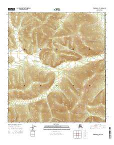
2015 Map of Tanacross C-1 SE
USGS Topo · Published 2015About this map
Alaska Southeast Fairbanks Census Area occupies this section of the interior, situated along the international border of the United States of America. The terrain is characterized by high-elevation drainage systems, most notably defined by the headwaters of McCord Cr in the northeast and Deep Cr in the southeast. The map illustrates the Public Land Survey System divisions for Townships 20 and 21 North, spanning Ranges 21 through 23 East. This 2015 survey reflects a largely unpopulated landscape of high ridges and narrow valleys, where natural watercourses provide the primary named landmarks in an otherwise open wilderness environment.
Find a feature on this map
9 named features on this map. Tap any name to fly to it.
Don’t see what you’re looking for? This feature index may not catch every label — zoom into the map to look around manually.
Map Details
Editions of this 2015 Tanacross C-1 SE Map
This is the sole edition of this map. No revisions or reprints were ever made.
Other maps of this area

1949 · Tanacross
USGS Topo · 1:250,000

1950 · Tanacross
USGS Topo · 1:250,000

1956 · Tanacross C-1
USGS Topo · 1:63,360
1956 · Tanacross B-1
USGS Topo · 1:63,360

1956 · Tanacross
USGS Topo · 1:250,000

1964 · Tanacross
USGS Topo · 1:250,000
2015 · Tanacross C-1 NE
USGS Topo · 1:25,000
2015 · Tanacross C-1 NW
USGS Topo · 1:25,000
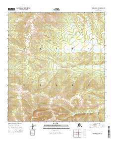
2015 · Tanacross C-1 SW
USGS Topo · 1:25,000
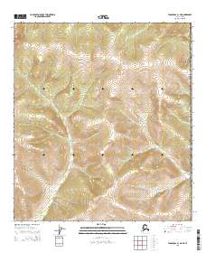
2015 · Tanacross B-1 NE
USGS Topo · 1:25,000