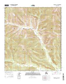
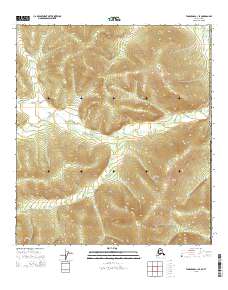
2015 Map of Tanacross C-1 NE
USGS Topo · Published 2015About this map
Mcelfish Cr winds through the northern and central highlands of this interior terrain, where the elevation rises significantly from the drainage basins. Located within the Southeast Fairbanks Census Area, the landscape is defined by the rigorous topography typical of the Alaska-Yukon border region. In the southern portion of the sheet, McCord Cr carves a path through the valley floor, highlighting the drainage patterns that dominate this high-latitude environment. The lack of infrastructure or modern development emphasize the region's character as a wilderness corridor, primarily used for large-scale land management and surveying within the Public Land Survey System, as indicated by the prominent township boundaries like t22n r22e.
Find a feature on this map
14 named features on this map. Tap any name to fly to it.
Don’t see what you’re looking for? This feature index may not catch every label — zoom into the map to look around manually.
Map Details
Editions of this 2015 Tanacross C-1 NE Map
This is the sole edition of this map. No revisions or reprints were ever made.
Other maps of this area

1949 · Tanacross
USGS Topo · 1:250,000

1950 · Tanacross
USGS Topo · 1:250,000

1956 · Tanacross C-1
USGS Topo · 1:63,360

1956 · Tanacross D-1
USGS Topo · 1:63,360

1956 · Tanacross
USGS Topo · 1:250,000

1964 · Tanacross
USGS Topo · 1:250,000
2015 · Tanacross D-1 SE
USGS Topo · 1:25,000
2015 · Tanacross C-1 NW
USGS Topo · 1:25,000
2015 · Tanacross D-1 SW
USGS Topo · 1:25,000
2015 · Tanacross C-1 SE
USGS Topo · 1:25,000