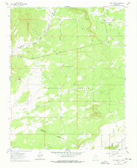
1960 Map of Taos Junction
USGS Topo · Published 1978About this map
The Carson National Forest defines the rugged geography of this 1960 survey, dominated by a network of seasonal watercourses and sharp topographic shifts. High points like Cerro Azul and Mesa Vibora overlook a landscape carved by Arroyo Sandlin and Arroyo Stevens. The area’s human history is marked by transportation routes, notably the Old Railroad Grade which cuts through the northern sector near the small settlement at Taos Junction.
Find a feature on this map
17 named features on this map. Tap any name to fly to it.
Don’t see what you’re looking for? This feature index may not catch every label — zoom into the map to look around manually.
Map Details
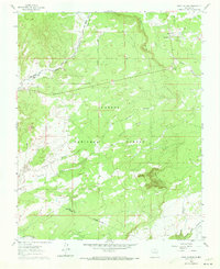
Editions of this 1960 Taos Junction Map

Other maps of this area

1918 · Abiquiu
USGS Topo · 1:125,000

1953 · Lyden
USGS Topo · 1:24,000

1953 · Velarde
USGS Topo · 1:24,000

1953 · Trampas
USGS Topo · 1:24,000

1953 · La Madera
USGS Topo · 1:24,000

1953 · Ojo Caliente
USGS Topo · 1:24,000

1953 · San Juan Pueblo
USGS Topo · 1:62,500

1954 · Raton
USGS Topo · 1:250,000

1954 · Aztec
USGS Topo · 1:250,000

1958 · Raton
USGS Topo · 1:250,000