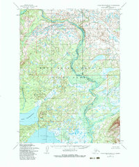
1954 Map of Taylor Mountains A-7
USGS Topo · Published 1983About this map
Wood River Tikchik State Park dominates this mid-century topographic survey, revealing a landscape defined by an intricate network of freshwater systems and glacial terrain in southwest Alaska. The convergence of the Tikchik River, Koneruk River, and Allen River illustrates a complex hydrological pattern typical of the region's vast wilderness before modern development. To the south, the massive basins of Chauekuktuli Lake and Nuyakuk Lake are prominent, separated by the rising elevation of Mount Chaufehuvak. The mapping, based on aerial photography from 1953 and 1955, captures the area without roads or trails, emphasizing the reliance on natural waterways like Koneruk Creek for navigation. Elevations such as Tikchik Mountain provide critical landmarks in a territory characterized by extensive swamps and unrepresented land lines, reflecting the remote nature of the Dillingham region during the post-war era.
Find a feature on this map
10 named features on this map. Tap any name to fly to it.
Don’t see what you’re looking for? This feature index may not catch every label — zoom into the map to look around manually.
Map Details
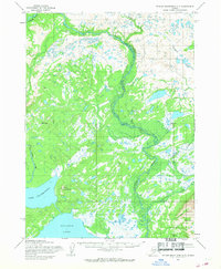
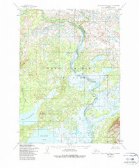
Editions of this 1954 Taylor Mountains A-7 Map
3 editions found
Other maps of this area

1950 · Taylor Mountains
USGS Topo · 1:250,000

1951 · Taylor Mountains
USGS Topo · 1:250,000

1951 · Dillingham
USGS Topo · 1:250,000

1954 · Taylor Mountains
USGS Topo · 1:250,000

1954 · Dillingham
USGS Topo · 1:250,000

1954 · Dillingham D-6
USGS Topo · 1:63,360

1954 · Dillingham D-7
USGS Topo · 1:63,360

1954 · Taylor Mountains B-8
USGS Topo · 1:63,360

1954 · Taylor Mountains A-8
USGS Topo · 1:63,360

1954 · Taylor Mountains B-7
USGS Topo · 1:63,360