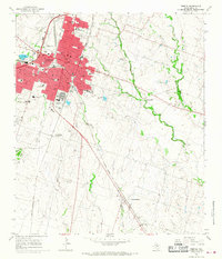
1965 Map of Temple
USGS Topo · Published 1968About this map
Temple stands as a bustling central Texas hub in the mid-1960s, defined by its extensive rail infrastructure and sprawling institutional complexes. Two major rail lines, the Atchison Topeka and Santa Fe and the Missouri Kansas Texas, intersect the city, underscoring its historical importance as a transit junction. The map reveals a significant healthcare and military presence, anchored by the Veterans Administration Center and Scott and White Hospital, alongside a dense network of local schools like Dunbar High Sch and Wheatley Sch.
Find a feature on this map
56 named features on this map. Tap any name to fly to it.
Don’t see what you’re looking for? This feature index may not catch every label — zoom into the map to look around manually.
Map Details
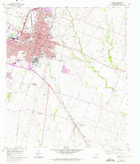
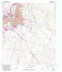
Editions of this 1965 Temple Map
3 editions found
Other maps of this area

1885 · Taylor
USGS Topo · 1:125,000

1887 · Taylor
USGS Topo · 1:125,000

1892 · Temple
USGS Topo · 1:125,000

1894 · Taylor
USGS Topo · 1:125,000

1924 · Temple 3-C
USGS Topo · 1:48,000

1924 · Temple 3-B
USGS Topo · 1:48,000

1931 · Belton
USGS Topo · 1:62,500

1954 · Waco
USGS Topo · 1:250,000

1954 · Austin
USGS Topo · 1:250,000

1955 · Waco
USGS Topo · 1:250,000