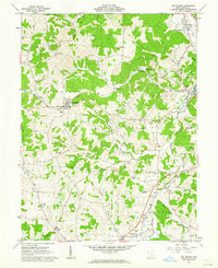
1961 Map of The Plains
USGS Topo · Published 1962About this map
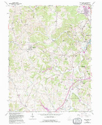
The Plains stands as the primary settlement on this landscape where the Baltimore and Ohio and New York Central railroads converge. The topography is defined by the winding course of Margaret Creek and its many tributaries, which carve through ridges such as Gowler Ridge and Vore Ridge. In the early 1960s, this area of Athens County maintained a distinct balance between agricultural valley life and burgeoning industrial footprints, evidenced by scattered Oil Wells, a Gas Well, and a Strip Mine near Fisher.
Find a feature on this map
66 named features on this map. Tap any name to fly to it.
Don’t see what you’re looking for? This feature index may not catch every label — zoom into the map to look around manually.
Map Details
Editions of this 1961 The Plains Map
5 editions found
Other maps of this area

1903 · Athens
USGS Topo · 1:62,500

1904 · Zaleski
USGS Topo · 1:62,500

1905 · Athens
USGS Topo · 1:62,500

1905 · Wilkesville
USGS Topo · 1:62,500

1907 · Pomeroy
USGS Topo · 1:62,500

1907 · Zaleski
USGS Topo · 1:62,500

1908 · Wilkesville
USGS Topo · 1:62,500

1947 · Columbus
USGS Topo · 1:250,000

1960 · Albany
USGS Topo · 1:24,000
1960 · Shade
USGS Topo · 1:24,000