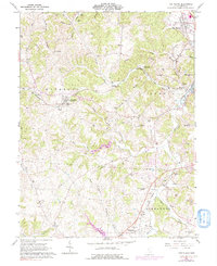
1961 Map of The Plains
USGS Topo · Published 1991About this map
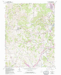
New Marshfield and The Plains anchor this survey of rural Athens County, where the transition from agricultural valley to timbered ridges is marked by a dense network of family cemeteries and small rural congregations. The landscape is defined by the Hocking River and its numerous tributaries, including Margaret Creek and Onion Creek, which carve through the townships of Waterloo, Athens, Lee, and Alexander. Transport corridors follow these natural drainage patterns, with the Baltimore and Ohio and Conrail lines moving coal and timber through the region. Evidence of the local extraction economy appears in the form of a Strip Mine and scattered Oil Well symbols, while social life is visible at the Athens Country Club and various neighborhood landmarks like Stage Mound Hill. Numerous family burial grounds, such as Quail Trap Cem and Minear Cem, offer significant clues for local genealogical research.
Find a feature on this map
64 named features on this map. Tap any name to fly to it.
Don’t see what you’re looking for? This feature index may not catch every label — zoom into the map to look around manually.
Map Details
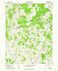
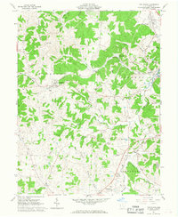
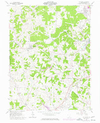
Editions of this 1961 The Plains Map
5 editions found
Other maps of this area

1903 · Athens
USGS Topo · 1:62,500

1904 · Zaleski
USGS Topo · 1:62,500

1905 · Athens
USGS Topo · 1:62,500

1905 · Wilkesville
USGS Topo · 1:62,500

1907 · Pomeroy
USGS Topo · 1:62,500

1907 · Zaleski
USGS Topo · 1:62,500

1908 · Wilkesville
USGS Topo · 1:62,500

1947 · Columbus
USGS Topo · 1:250,000

1960 · Albany
USGS Topo · 1:24,000
1960 · Shade
USGS Topo · 1:24,000