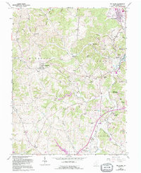
1961 Map of The Plains
USGS Topo · Published 1995About this map
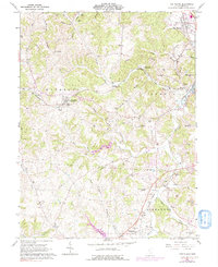
The Plains stands at the northeast corner of this Athens County landscape, where the Hocking River sweeps past Stage Mound Hill. The area transitions from the river valley into the broken terrain of the Waterloo and Alexander townships, defined by a complex network of runs and creeks including Margaret Creek and its north and west branches. Settlement patterns are dense with genealogical markers, featuring numerous family-named burial sites such as Quail Trap Cem, Stover Cem, and Minear Cem.
Find a feature on this map
72 named features on this map. Tap any name to fly to it.
Don’t see what you’re looking for? This feature index may not catch every label — zoom into the map to look around manually.
Map Details
Editions of this 1961 The Plains Map
5 editions found
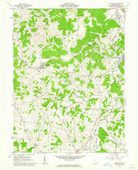
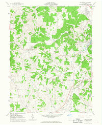
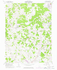
Other maps of this area

1903 · Athens
USGS Topo · 1:62,500

1904 · Zaleski
USGS Topo · 1:62,500

1905 · Athens
USGS Topo · 1:62,500

1905 · Wilkesville
USGS Topo · 1:62,500

1907 · Pomeroy
USGS Topo · 1:62,500

1907 · Zaleski
USGS Topo · 1:62,500

1908 · Wilkesville
USGS Topo · 1:62,500

1947 · Columbus
USGS Topo · 1:250,000

1960 · Albany
USGS Topo · 1:24,000
1960 · Shade
USGS Topo · 1:24,000