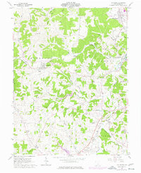
1961 Map of The Plains
USGS Topo · Published 1977About this map
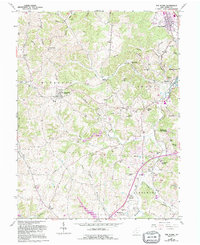
The Plains and the rolling hill country of Athens County appear here in a transition period between the early 1960s and the mid-1970s. The landscape is defined by the winding course of Margaret Creek and its many tributaries, such as Dirty North Branch Margaret Creek, where narrow valleys host small settlements like New Marshfield and Hebardville. The era’s industrial footprint is visible through features like the Ship Mine and various Strip Mine sites, while the presence of the Baltimore and Ohio and Conrail lines marks the importance of rail transport for the region's mineral and agricultural output.
Find a feature on this map
65 named features on this map. Tap any name to fly to it.
Don’t see what you’re looking for? This feature index may not catch every label — zoom into the map to look around manually.
Map Details
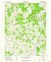
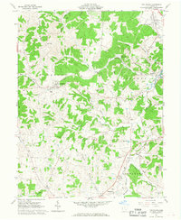
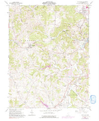
Editions of this 1961 The Plains Map
5 editions found
Other maps of this area

1903 · Athens
USGS Topo · 1:62,500

1904 · Zaleski
USGS Topo · 1:62,500

1905 · Athens
USGS Topo · 1:62,500

1905 · Wilkesville
USGS Topo · 1:62,500

1907 · Pomeroy
USGS Topo · 1:62,500

1907 · Zaleski
USGS Topo · 1:62,500

1908 · Wilkesville
USGS Topo · 1:62,500

1947 · Columbus
USGS Topo · 1:250,000

1960 · Albany
USGS Topo · 1:24,000
1960 · Shade
USGS Topo · 1:24,000