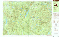
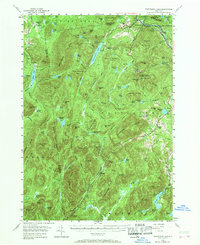
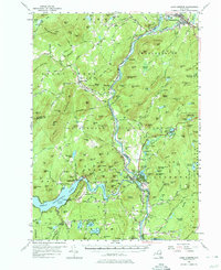
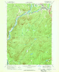
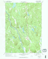
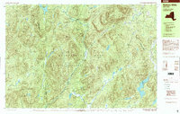
1997 Map of Thirteenth Lake
USGS Topo · Published 1999This historical map portrays the area of Thirteenth Lake in 1997, primarily covering Warren County as well as portions of Essex County and Hamilton County. Featuring a scale of 1:25000, this map provides a highly detailed snapshot of the terrain, roads, buildings, counties, and historical landmarks in the Thirteenth Lake region at the time. Published in 1999, it is one of 2 known editions of this map due to revisions or reprints.
Find a feature on this map
90 named features on this map. Tap any name to fly to it.
Don’t see what you’re looking for? This feature index may not catch every label — zoom into the map to look around manually.
Map Details
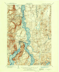
Editions of this 1997 Thirteenth Lake Map
2 editions found
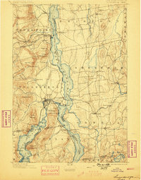
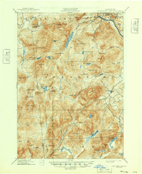
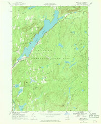
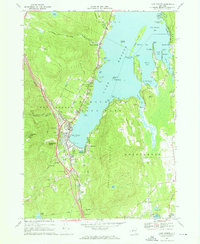
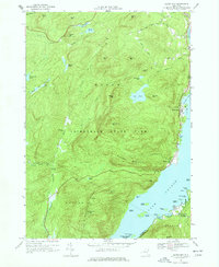
Historical Maps of Indian Lake Through Time
23 maps found
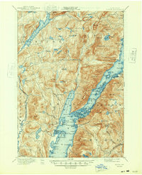
1894 Ticonderoga
Warren County, NY
1896 Ticonderoga
Warren County, NY

1897 Bolton
Warren County, NY
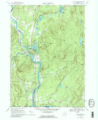
1898 Thirteenth Lake
Warren County, NY
1900 Bolton
Warren County, NY
1902 Ticonderoga
Warren County, NY
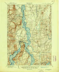
1903 Luzerne
Warren County, NY
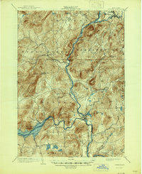
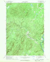
1954 Thirteenth Lake
Warren County, NY
1955 Lake Luzerne
Warren County, NY
1966 Brant Lake
Warren County, NY
1966 Lake George
Warren County, NY
1966 Silver Bay
Warren County, NY
1966 Warrensburg
Warren County, NY
1968 Johnsburg
Warren County, NY
1968 Lake Luzerne
Warren County, NY
1968 Stony Creek
Warren County, NY
1968 The Glen
Warren County, NY
1990 Bakers Mills
Warren County, NY
1990 Harrisburg
Warren County, NY
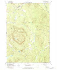
1990 Thirteenth Lake
Warren County, NY
1997 Bakers Mills
Warren County, NY
1997 Harrisburg
Warren County, NY
1997 Thirteenth Lake
Warren County, NY