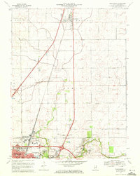
1970 Map of Thomasboro
USGS Topo · Published 1972About this map
The agrarian landscape of Champaign County meets the northward expansion of Urbana and Champaign City in this 1970 revision. The Illinois Central railroad serves as the primary north-south spine, anchoring the village of Thomasboro in the north and the unincorporated hamlet of Leverett. These rails parallel the emerging highway system, which by this era included a prominent 4 Lane corridor cutting through the southern townships. The rural character remains dominant between the municipalities, defined by the winding course of the Saline Branch and numerous family-named landmarks.
Find a feature on this map
35 named features on this map. Tap any name to fly to it.
Don’t see what you’re looking for? This feature index may not catch every label — zoom into the map to look around manually.
Map Details
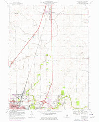
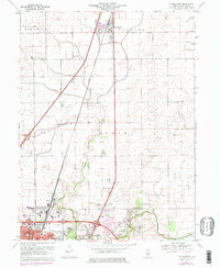
Editions of this 1970 Thomasboro Map
3 editions found
Other maps of this area

1906 · Urbana
USGS Topo · 1:62,500

1907 · Mahomet
USGS Topo · 1:62,500

1924 · Paxton
USGS Topo · 1:62,500

1927 · Paxton
USGS Topo · 1:62,500

1928 · Gibson City
USGS Topo · 1:62,500

1949 · Paxton
USGS Topo · 1:62,500

1957 · Urbana
USGS Topo · 1:62,500

1957 · Paxton
USGS Topo · 1:62,500

1957 · Gibson City
USGS Topo · 1:62,500

1957 · Urbana
USGS Topo · 1:24,000