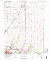
1970 Map of Thomasboro
USGS Topo · Published 1976About this map
Thomasboro and the surrounding agricultural townships of Condit, Rantoul, and Somer appear here during a period of transition as the northern outskirts of Urbana and Champaign begin to expand. The Illinois Central railroad remains a dominant corridor, anchoring the small elevators and depots at Leverett and the central village of Thomasboro. As the suburban footprint of the twin cities moves northward, this survey captures the infrastructure of the era, including the Illini Airport and a Drive-in Theater along the main highway.
Find a feature on this map
34 named features on this map. Tap any name to fly to it.
Don’t see what you’re looking for? This feature index may not catch every label — zoom into the map to look around manually.
Map Details
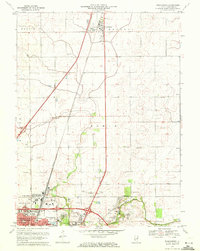
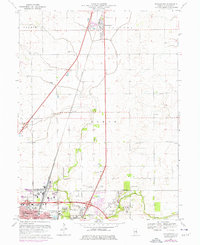
Editions of this 1970 Thomasboro Map
3 editions found
Other maps of this area

1906 · Urbana
USGS Topo · 1:62,500

1907 · Mahomet
USGS Topo · 1:62,500

1924 · Paxton
USGS Topo · 1:62,500

1927 · Paxton
USGS Topo · 1:62,500

1928 · Gibson City
USGS Topo · 1:62,500

1949 · Paxton
USGS Topo · 1:62,500

1957 · Urbana
USGS Topo · 1:62,500

1957 · Paxton
USGS Topo · 1:62,500

1957 · Gibson City
USGS Topo · 1:62,500

1957 · Urbana
USGS Topo · 1:24,000