
1961 Map of Thornville
USGS Topo · Published 1973About this map
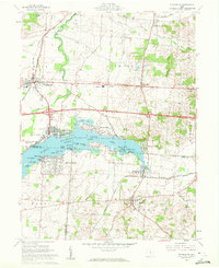
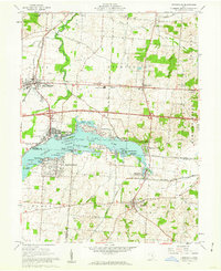
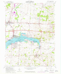
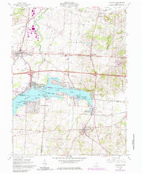
Buckeye Lake State Park dominates the central landscape of this Licking and Perry County region, providing a detailed look at the recreational and residential development surrounding the water in the early 1960s and 1970s. The shoreline is densely populated with named points and islands, from Custers Point to Brundage Island, reflecting a transition from simple lakeland to structured leisure communities like Harbor Hills and Fairfield Beach. To the south, the village of Thornville sits near the Thornport (Thornville Sta) rail connection, while Hebron anchors the northwest corner near the South Fork Licking River. The map preserves the cultural footprint of the era through sites such as the SS Peter and Paul Seminary and the Cranberry Marsh, alongside the infrastructure of the Penn Central and Baltimore and Ohio railroads.
Find a feature on this map
65 named features on this map. Tap any name to fly to it.
Don’t see what you’re looking for? This feature index may not catch every label — zoom into the map to look around manually.
Map Details
Editions of this 1961 Thornville Map
5 editions found
Other maps of this area

1907 · Thurston
USGS Topo · 1:62,500

1908 · Granville
USGS Topo · 1:62,500

1909 · Newark
USGS Topo · 1:62,500

1909 · Thornville
USGS Topo · 1:62,500

1909 · Thurston
USGS Topo · 1:62,500

1910 · Granville
USGS Topo · 1:62,500

1947 · Columbus
USGS Topo · 1:250,000

1950 · Marion
USGS Topo · 1:250,000

1961 · Columbus
USGS Topo · 1:250,000

1961 · Hanover
USGS Topo · 1:24,000