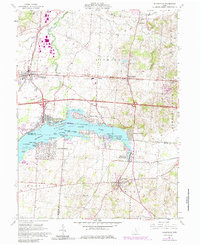
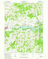
1961 Map of Thornville
USGS Topo · Published 1977About this map
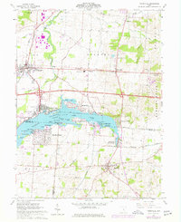
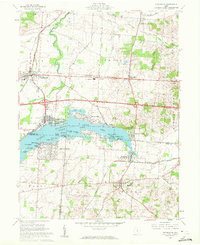
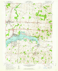
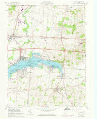
Buckeye Lake dominates this central Ohio landscape, shown here during the mid-1970s following decades of development as a premier recreation destination. The Buckeye Lake State Park shoreline is densely populated with leisure communities like Harbor Hills, Fairfield Beach, and Edgewater Beach. Dozens of named islands, including Charleston Island and the unique Cranberry Marsh, are meticulously documented.
Find a feature on this map
65 named features on this map. Tap any name to fly to it.
Don’t see what you’re looking for? This feature index may not catch every label — zoom into the map to look around manually.
Map Details
Editions of this 1961 Thornville Map
5 editions found
Other maps of this area
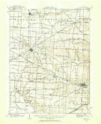
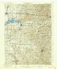
1907 · Thurston
USGS Topo · 1:62,500
1908 · Granville
USGS Topo · 1:62,500
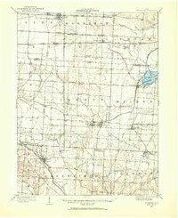
1909 · Newark
USGS Topo · 1:62,500
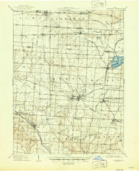
1909 · Thornville
USGS Topo · 1:62,500
1909 · Thurston
USGS Topo · 1:62,500

1910 · Granville
USGS Topo · 1:62,500

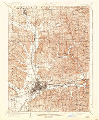
1947 · Columbus
USGS Topo · 1:250,000

1950 · Marion
USGS Topo · 1:250,000

1961 · Columbus
USGS Topo · 1:250,000
1961 · Hanover
USGS Topo · 1:24,000