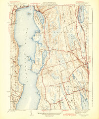
1942 Map of Tiverton
USGS Topo · Published 1942About this map
Coastal Newport County at the onset of World War II reveals a landscape defined by its relation to the Sakonnet River and the rural heritage of Rhode Island's East Bay. The interior is a mixture of wetlands like the Great Swamp and prominent coastal elevations including Windmill Hill and Richmond Hill. Settlement patterns are concentrated around historic crossroads and coastal necks, with Tiverton Four Corners and Little Compton Commons serving as established community hubs. In the southeast, the village of Adamsville sits near the border, adjacent to Grays Mill Pond. The mapping also details the distinct geography of Nannaquaket Neck, nearly isolated by Nannaquaket Pond, and the various coastal points like Sapowet Pt and Fogland Pt that mark the jagged eastern shore of the Sakonnet.
Find a feature on this map
58 named features on this map. Tap any name to fly to it.
Don’t see what you’re looking for? This feature index may not catch every label — zoom into the map to look around manually.
Map Details
Editions of this 1942 Tiverton Map
4 editions found
Historical Maps of Fall River Through Time
18 maps found

1885 Sakonnet
Newport County, RI

1888 Sakonnet
Newport County, RI

1890 Narragansett Bay
Newport County, RI
1892 Narragansett Bay
Newport County, RI
1893 Sakonnet
Newport County, RI
1919 Narragansett Bay
Newport County, RI
1939 Prudence Island
Newport County, RI
1942 Prudence Island
Newport County, RI
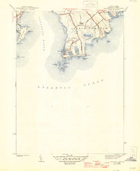
1942 Sakonnet Point
Newport County, RI
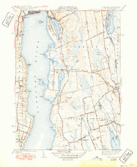
1942 Tiverton
Newport County, RI
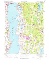
1949 Tiverton
Newport County, RI
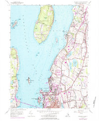
1955 Prudence Island
Newport County, RI
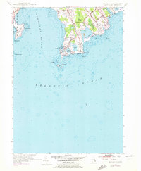
1955 Sakonnet Point
Newport County, RI
1984 Sakonnet Point
Newport County, RI
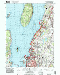
1996 Prudence Island
Newport County, RI
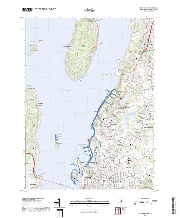
2024 Prudence Island
Newport County, RI
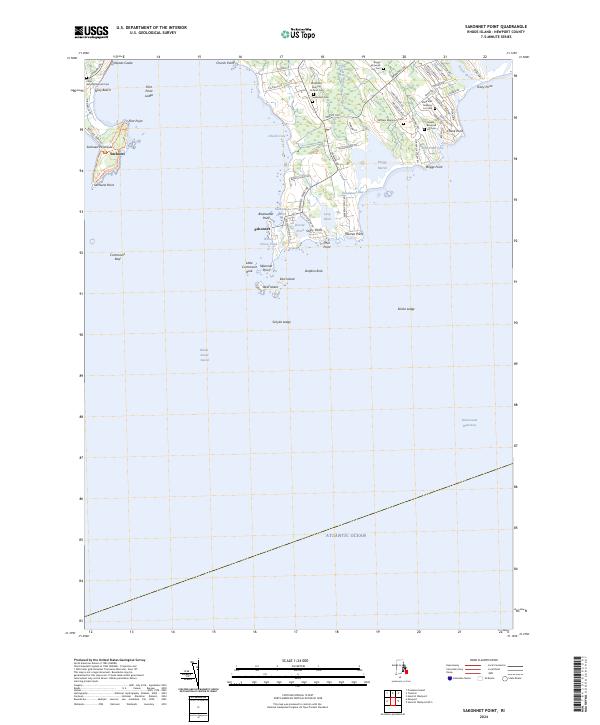
2024 Sakonnet Point
Newport County, RI
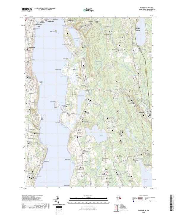
2024 Tiverton
Newport County, RI