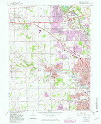
1965 Map of Trotwood
USGS Topo · Published 1982About this map
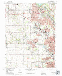
Sycamore State Park and the winding course of the Stillwater River dominate this landscape west of Dayton, where mid-century suburban expansion meets established agricultural roots. The map documents a period of significant growth, with purple-tinted urban extensions reaching toward settlements like Trotwood and Englewood. Educational and religious institutions are prominent, from the Precious Blood Convent and Meadowdale High Sch to the rural Cedar Hill Cem and Turner Cem. The influence of the Miami Conservancy District is visible along the river, indicating early regional flood control efforts. Local transportation and industry are represented by the Conrail lines and scattered Gravel Pits, while landmarks like the Dahio Airfield, Hara Arena, and the Naval Reserve Center reflect the diverse civic and military character of Montgomery County during this era.
Find a feature on this map
87 named features on this map. Tap any name to fly to it.
Don’t see what you’re looking for? This feature index may not catch every label — zoom into the map to look around manually.
Map Details
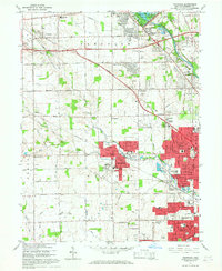
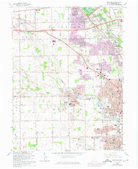
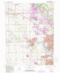
Editions of this 1965 Trotwood Map
5 editions found
Other maps of this area

1904 · Dayton
USGS Topo · 1:62,500

1905 · Brookville
USGS Topo · 1:62,500

1906 · Dayton
USGS Topo · 1:62,500

1908 · Miamisburg
USGS Topo · 1:62,500

1913 · Waynesville
USGS Topo · 1:62,500

1915 · Waynesville
USGS Topo · 1:62,500

1953 · Cincinnati
USGS Topo · 1:250,000

1955 · Miamisburg
USGS Topo · 1:24,000

1955 · Dayton South
USGS Topo · 1:24,000

1955 · West Milton
USGS Topo · 1:24,000