
1895 Map of Tsala Apopka
USGS Topo · Published 1895About this map
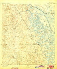
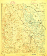
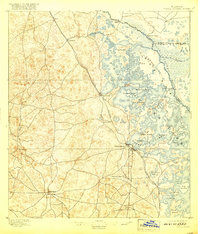
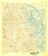
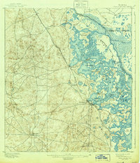
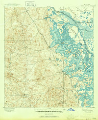
Tsala Apopka Lake dominates the eastern half of this 1893 survey, appearing as a complex system of marshes, islands, and open water through which the Withlacoochee River and Dead River flow. The settlement pattern is defined by the Savannah Florida and Western R. R., which links the communities of Hartshorn, Hernando, Arlington, and Inverness. Further west, Lecanto and the early county seat of Mannfield are situated among hundreds of tightly packed contour lines indicating the high, dry hammocks that contrast sharply with the riverine lowlands to the east.
Find a feature on this map
33 named features on this map. Tap any name to fly to it.
Don’t see what you’re looking for? This feature index may not catch every label — zoom into the map to look around manually.
Map Details
Editions of this 1895 Tsala Apopka Map
7 editions found
Other maps of this area

1892 · Dunnellon
USGS Topo · 1:62,500

1893 · Panasoffkee
USGS Topo · 1:62,500

1894 · Dunnellon
USGS Topo · 1:62,500

1895 · Panasoffkee
USGS Topo · 1:62,500

1895 · Ocala
USGS Topo · 1:62,500

1954 · Lecanto
USGS Topo · 1:24,000

1954 · Homosassa
USGS Topo · 1:24,000

1954 · Holder
USGS Topo · 1:24,000

1954 · Crystal River
USGS Topo · 1:24,000

1954 · Brooksville NW
USGS Topo · 1:24,000