
1905 Map of Tucson
USGS Topo · Published 1905About this map
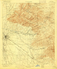
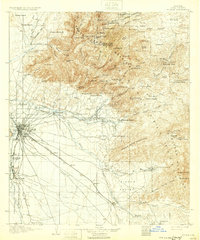
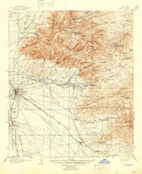
Tucson anchors this high-desert landscape as it appeared in the early twentieth century, situated along the Santa Cruz River and the Southern Pacific R. R. corridor. To the north, the massive Santa Catalina Mountains dominate the terrain, protected within the Santa Catalina Forest Reserve. This area is marked by numerous seasonal camps and isolated dwellings, including Catalina Camp, Webbers Cabin, and the high-elevation Bear Wallow. To the west of the city lies the Papago Indian Reservation, while the historic site of Old Fort Lowell sits at the confluence of desert washes.
Find a feature on this map
134 named features on this map. Tap any name to fly to it.
Don’t see what you’re looking for? This feature index may not catch every label — zoom into the map to look around manually.
Map Details
Editions of this 1905 Tucson Map
5 editions found
Other maps of this area

1904 · Patagonia
USGS Topo · 1:125,000

1904 · Tucson
USGS Topo · 1:125,000

1905 · Patagonia
USGS Topo · 1:125,000

1911 · Winkelman
USGS Topo · 1:125,000

1913 · Winkelman
USGS Topo · 1:125,000

1915 · Benson
USGS Topo · 1:125,000

1920 · Arivaca
USGS Topo · 1:125,000

1925 · Samaniego Peak
USGS Topo · 1:62,500

1925 · San Xavier
USGS Topo · 1:62,500

1926 · Whetstone
USGS Topo · 1:62,500