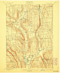
1900 Map of Tully
USGS Topo · Published 1906About this map
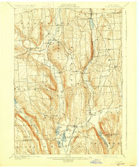
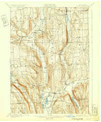
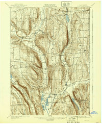
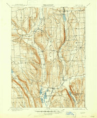
The Onondaga Indian Reservation defines the northern landscape of this turn-of-the-century survey, centered on the historic settlements of Onondaga Castle and Indian Village. To the south, a glacial chain of lakes including Tully Lake, Crooked Lake, and Song Lake shapes the terrain, creating a natural corridor utilized by the Syracuse and Binghamton Division of the railroad. The map documents a rural New York economy transitioning into a seasonal recreation destination, evidenced by the development of Assembly Park and Tully Lake Park along the shoreline.
Find a feature on this map
67 named features on this map. Tap any name to fly to it.
Don’t see what you’re looking for? This feature index may not catch every label — zoom into the map to look around manually.
Map Details
Editions of this 1900 Tully Map
9 editions found
Other maps of this area

1895 · Chittenango
USGS Topo · 1:62,500

1895 · Syracuse
USGS Topo · 1:62,500

1897 · Cazenovia
USGS Topo · 1:62,500

1898 · Syracuse
USGS Topo · 1:62,500

1898 · Moravia
USGS Topo · 1:62,500

1898 · Chittenango
USGS Topo · 1:62,500

1899 · Skaneateles
USGS Topo · 1:62,500

1899 · Cazenovia
USGS Topo · 1:62,500

1900 · Baldwinsville
USGS Topo · 1:62,500

1900 · Tully
USGS Topo · 1:62,500