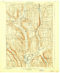
1900 Map of Tully
USGS Topo · Published 1927About this map
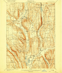
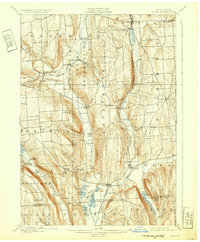
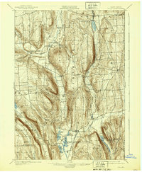
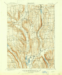
The Onondaga Indian Reservation centers this turn-of-the-century landscape, positioned north of the Finger Lakes region in Onondaga County. This era captures a transition in local post offices and small settlements, such as Maple Grove (Case P.O.) and Onondaga Castle, which served as vital community hubs before rural consolidation. The terrain is deeply grooved by glacial valleys, home to the Syracuse Binghamton and New York RR and the Delaware Lackawanna and Western RR, which facilitated the movement of goods and people through the high-relief landscape.
Find a feature on this map
60 named features on this map. Tap any name to fly to it.
Don’t see what you’re looking for? This feature index may not catch every label — zoom into the map to look around manually.
Map Details
Editions of this 1900 Tully Map
9 editions found
Other maps of this area

1895 · Chittenango
USGS Topo · 1:62,500

1895 · Syracuse
USGS Topo · 1:62,500

1897 · Cazenovia
USGS Topo · 1:62,500

1898 · Syracuse
USGS Topo · 1:62,500

1898 · Moravia
USGS Topo · 1:62,500

1898 · Chittenango
USGS Topo · 1:62,500

1899 · Skaneateles
USGS Topo · 1:62,500

1899 · Cazenovia
USGS Topo · 1:62,500

1900 · Baldwinsville
USGS Topo · 1:62,500

1900 · Tully
USGS Topo · 1:62,500