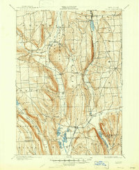
1900 Map of Tully
USGS Topo · Published 1947About this map
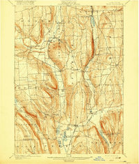
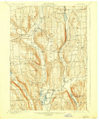
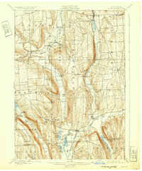
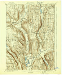
The Onondaga Indian Reservation anchors the northern portion of this landscape, featuring the historic Onondaga Castle and Indian Village along the winding Onondaga Creek. This late-19th-century survey documents a region defined by steep glacial valleys and a string of kettle lakes to the south, including Song Lake, Mud Lake, and the recreational grounds of Assembly Park. The transportation network is dominated by the Syracuse Binghamton and New York Division railroad, which skirts the valley walls near Apulia Station. Local commerce and post offices are well-marked, such as Maple Grove (Case P. O.), providing specific coordinates for genealogists. The topography reveals significant natural landmarks like Fellows Falls and the high elevation of Dutch Hill, illustrating the difficult terrain that shaped early settlement patterns in these uplands.
Find a feature on this map
59 named features on this map. Tap any name to fly to it.
Don’t see what you’re looking for? This feature index may not catch every label — zoom into the map to look around manually.
Map Details
Editions of this 1900 Tully Map
9 editions found
Other maps of this area

1895 · Chittenango
USGS Topo · 1:62,500

1895 · Syracuse
USGS Topo · 1:62,500

1897 · Cazenovia
USGS Topo · 1:62,500

1898 · Syracuse
USGS Topo · 1:62,500

1898 · Moravia
USGS Topo · 1:62,500

1898 · Chittenango
USGS Topo · 1:62,500

1899 · Skaneateles
USGS Topo · 1:62,500

1899 · Cazenovia
USGS Topo · 1:62,500

1900 · Baldwinsville
USGS Topo · 1:62,500

1900 · Tully
USGS Topo · 1:62,500