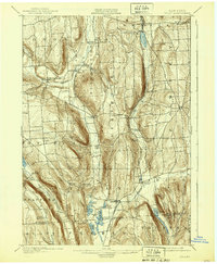
1900 Map of Tully
USGS Topo · Published 1939About this map
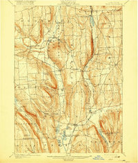
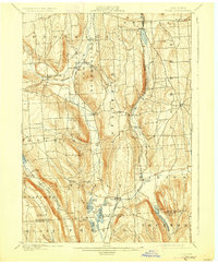
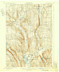
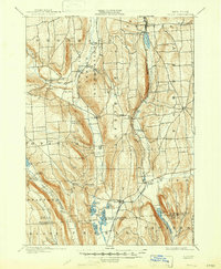
The Onondaga Indian Reservation serves as a prominent focal point in this turn-of-the-century landscape, positioned north of the deep glacial valleys and kettle lakes that define the region. The settlement patterns of the 1890s are clearly visible, from the cultural centers at Onondaga Castle and Indian Village to the agricultural crossroads of South Onondaga and Lafayette. The steep ridge lines of Dutch Hill and Bromley divide the drainage basins of Onondaga Creek and Butternut Creek, creating a varied topography where small hamlets like Vesper and Cardiff took root.
Find a feature on this map
68 named features on this map. Tap any name to fly to it.
Don’t see what you’re looking for? This feature index may not catch every label — zoom into the map to look around manually.
Map Details
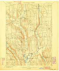
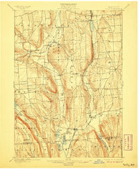
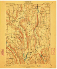
Editions of this 1900 Tully Map
9 editions found
Other maps of this area

1895 · Chittenango
USGS Topo · 1:62,500

1895 · Syracuse
USGS Topo · 1:62,500

1897 · Cazenovia
USGS Topo · 1:62,500

1898 · Syracuse
USGS Topo · 1:62,500

1898 · Moravia
USGS Topo · 1:62,500

1898 · Chittenango
USGS Topo · 1:62,500

1899 · Skaneateles
USGS Topo · 1:62,500

1899 · Cazenovia
USGS Topo · 1:62,500

1900 · Baldwinsville
USGS Topo · 1:62,500

1900 · Tully
USGS Topo · 1:62,500