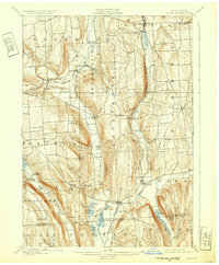
1900 Map of Tully
USGS Topo · Published 1932About this map
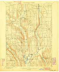
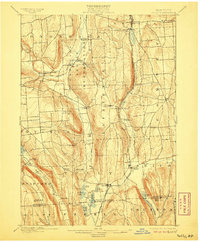
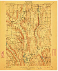
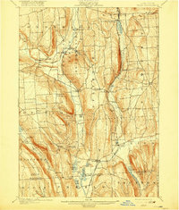
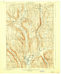
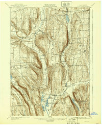
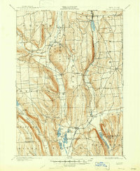
The Onondaga Indian Reservation anchors the northern landscape of this Central New York region, centered on the ancient valley of Onondaga Creek. This late-19th-century survey reveals a mature agrarian and recreational landscape, where the glacial finger of Otisco Lake meets the high ridges of Dutch Hill and the series of kettle lakes near Tully. The transportation network is dominated by the Delaware Lackawanna and Western railroad, which supported both local industry and seasonal tourism at Tully Lake Park and Assembly Park. Notable rural centers like Maple Grove and Apulia Station highlight the importance of postal and rail hubs in the 1890s. The topographic detail captures the steep ravines of the Southern Tier transition, including landmarks such as Fellows Falls and Tinker Falls near the boundary with Cortland County.
Find a feature on this map
62 named features on this map. Tap any name to fly to it.
Don’t see what you’re looking for? This feature index may not catch every label — zoom into the map to look around manually.
Map Details
Editions of this 1900 Tully Map
9 editions found
Other maps of this area

1895 · Chittenango
USGS Topo · 1:62,500

1895 · Syracuse
USGS Topo · 1:62,500

1897 · Cazenovia
USGS Topo · 1:62,500

1898 · Syracuse
USGS Topo · 1:62,500

1898 · Moravia
USGS Topo · 1:62,500

1898 · Chittenango
USGS Topo · 1:62,500

1899 · Skaneateles
USGS Topo · 1:62,500

1899 · Cazenovia
USGS Topo · 1:62,500

1900 · Baldwinsville
USGS Topo · 1:62,500

1900 · Tully
USGS Topo · 1:62,500