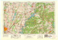
1958 Map of Tulsa
USGS Topo · Published 1968About this map
Tulsa anchors the southwestern corner of this Northeast Oklahoma landscape, shown during a period of significant hydroelectric and infrastructure development. The mid-century expansion of water management is evident in the sprawling basins of Oologah Res and Lake O' the Cherokees, which dominate the central and eastern sections. These reservoirs, along with Markham Ferry Reservoir and Fort Gibson Reservoir, reshaped the historical river valleys of the Verdigris River and Neosho River.
Find a feature on this map
108 named features on this map. Tap any name to fly to it.
Don’t see what you’re looking for? This feature index may not catch every label — zoom into the map to look around manually.
Map Details
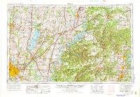
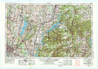
Editions of this 1958 Tulsa Map
3 editions found
Other maps of this area
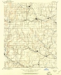
1885 · Sedan
USGS Topo · 1:125,000

1886 · Joplin
USGS Topo · 1:125,000
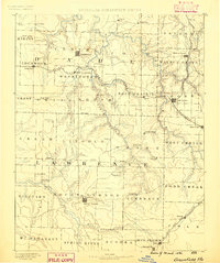
1886 · Greenfield
USGS Topo · 1:125,000
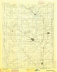
1886 · Independence
USGS Topo · 1:125,000
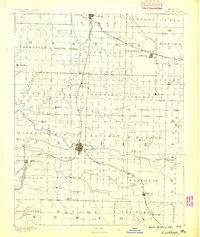
1886 · Carthage
USGS Topo · 1:125,000
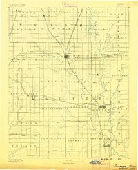
1886 · Parsons
USGS Topo · 1:125,000
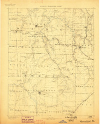
1888 · Greenfield
USGS Topo · 1:125,000
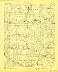
1889 · Sedan
USGS Topo · 1:125,000
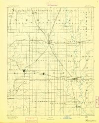
1893 · Parsons
USGS Topo · 1:125,000
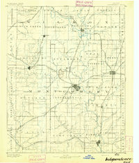
1894 · Independence
USGS Topo · 1:125,000