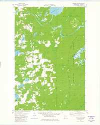
1981 Map of Turpela Lake
USGS Topo · Published 1982About this map
The St Louis River and Partridge River wind through this northern Minnesota landscape, defining a region where the dense woods of the Superior National Forest meet a complex network of glacial lakes. In the early 1980s, the area's geography was characterized by a mix of natural waterways and the expansion of the Hoyt Lakes Village Boundary. Numerous family-named water bodies, such as Hautala Lake, Kumpula Lake, and Neff Lake, suggest a history of local settlement and land use. The presence of several Gravel Pits and a dedicated Heliport indicate active resource management and logistical support within the forest. Outdoor recreation and conservation are evident through established features like the Picnic Area and Boat Ramp at Norway Point, where the river broadens. This survey documents the specific hydrological and industrial footprint of the Iron Range area before more contemporary developments altered the local drainage patterns.
Find a feature on this map
21 named features on this map. Tap any name to fly to it.
Don’t see what you’re looking for? This feature index may not catch every label — zoom into the map to look around manually.
Map Details
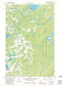
Editions of this 1981 Turpela Lake Map
2 editions found
Other maps of this area

1949 · Aurora
USGS Topo · 1:24,000

1949 · Allen
USGS Topo · 1:24,000

1950 · Allen
USGS Topo · 1:24,000

1950 · Aurora
USGS Topo · 1:24,000

1950 · Biwabik
USGS Topo · 1:24,000

1951 · Biwabik
USGS Topo · 1:24,000

1951 · Palo
USGS Topo · 1:24,000

1951 · Makinen
USGS Topo · 1:24,000

1954 · Hibbing
USGS Topo · 1:250,000

1957 · Hibbing
USGS Topo · 1:250,000