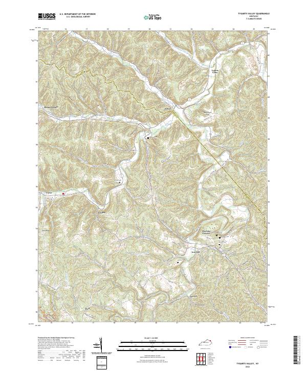
2022 Map of Tygarts Valley
USGS Topo · Published 2022About this map
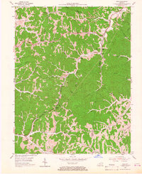
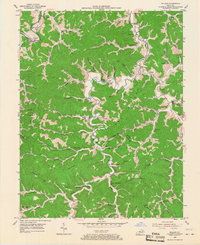
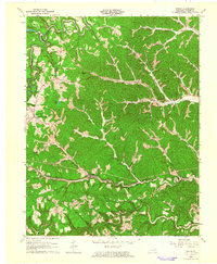
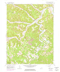
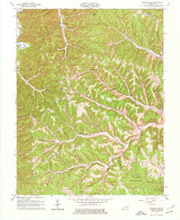
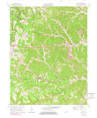
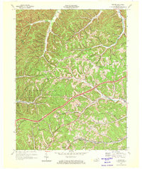
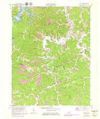
Boone Furnace and Charlotte Furnace anchor this section of the Kentucky hills, marking the industrial heritage of an area defined by narrow hollows and winding ridgelines. The landscape is a network of small settlements like Kehoe, Iron Hill, and Gesling, many of which developed along the banks of Tygarts Creek and its numerous tributaries such as Buffalo Cr and Three Prong Br. This topographic study reveals a deeply dissected terrain where travel followed natural water gaps and elevated paths like Boone Rdg and Bubbie Ridge. For those researching local history, the map provides precise locations for family burial grounds including Everman Cem, Zornes Cem, and Bentley Cem. Notable landmarks such as Potato Knob and the Tygarts Bottom floor offer clear orientation points within this complex river-valley system.
Find a feature on this map
93 named features on this map. Tap any name to fly to it.
Don’t see what you’re looking for? This feature index may not catch every label — zoom into the map to look around manually.
Map Details
Editions of this 2022 Tygarts Valley Map
This is the sole edition of this map. No revisions or reprints were ever made.
Historical Maps of Boone Furnace Through Time
19 maps found
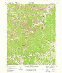
1950 Grahn
Carter County, KY
1950 Tygarts Valley
Carter County, KY
1950 Wesleyville
Carter County, KY

1951 Soldier
Carter County, KY
1953 Rush
Carter County, KY
1953 Willard
Carter County, KY
1962 Grahn
Carter County, KY
1962 Tygarts Valley
Carter County, KY
1962 Wesleyville
Carter County, KY
1970 Grahn
Carter County, KY
1970 Soldier
Carter County, KY
1970 Willard
Carter County, KY
1971 Rush
Carter County, KY
2022 Grahn
Carter County, KY
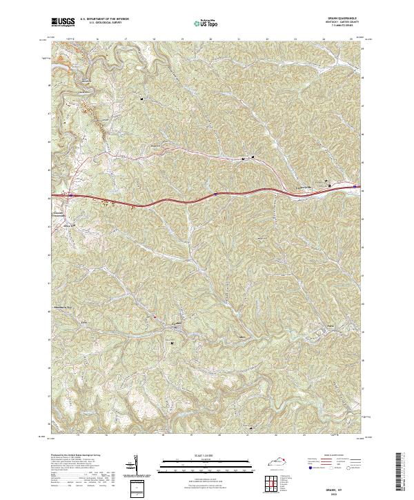
2022 Rush
Carter County, KY
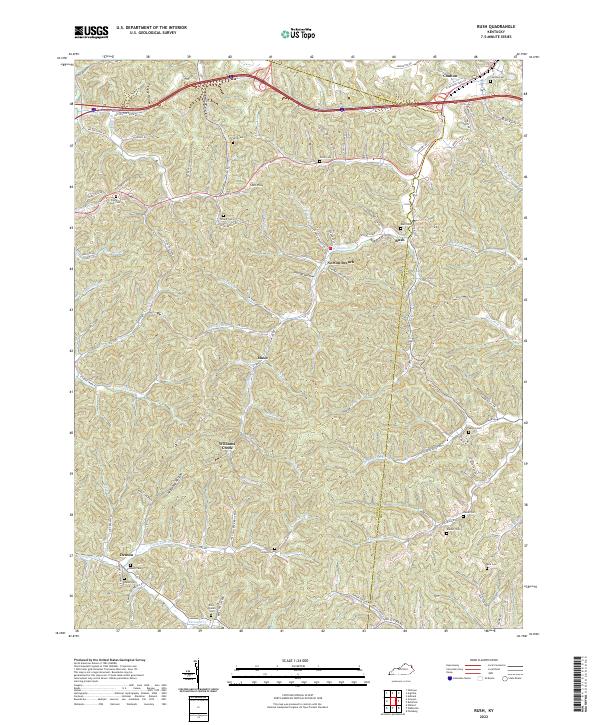
2022 Soldier
Carter County, KY
2022 Tygarts Valley
Carter County, KY
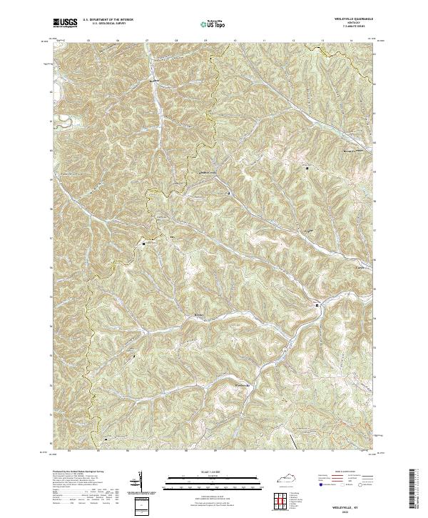
2022 Wesleyville
Carter County, KY
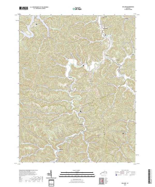
2022 Willard
Carter County, KY