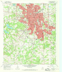
1966 Map of Tyler South
USGS Topo · Published 1970About this map
The city of Tyler serves as the focal point of this mid-1960s landscape, illustrating a period of significant suburban expansion and institutional development. The map details a dense network of civic and religious landmarks, ranging from the central City Hall and Courthouse to numerous neighborhood schools like Boulter Jr High Sch and Rice Sch. Local history and genealogy researchers will find an exceptional density of burial grounds, including the historic Oakwood Cem and Ahavath Achim Cem, providing a clear record of the community's early established families and religious congregations.
Find a feature on this map
72 named features on this map. Tap any name to fly to it.
Don’t see what you’re looking for? This feature index may not catch every label — zoom into the map to look around manually.
Map Details
Editions of this 1966 Tyler South Map
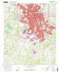
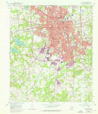
Other maps of this area

1937 · Troupe
USGS Topo · 1:48,000

1938 · Winona
USGS Topo · 1:48,000

1943 · Troup
USGS Topo · 1:62,500

1943 · Winona
USGS Topo · 1:62,500

1946 · Bullard
USGS Topo · 1:62,500

1948 · Bullard
USGS Topo · 1:62,500

1948 · Tyler
USGS Topo · 1:62,500

1949 · Tyler
USGS Topo · 1:62,500

1956 · Tyler
USGS Topo · 1:250,000

1966 · Chandler
USGS Topo · 1:24,000