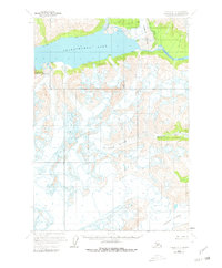
1958 Map of Tyonek A-7
USGS Topo · Published 1980About this map
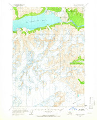
Lake Clark National Monument encompasses a significant portion of this high-altitude landscape, where massive ice fields and glacial meltwater define the geography. The expansive Chakachamna Lake serves as a central catchment for the surrounding peaks, fed by the Nagish Lamina R and drained eastward by the Chakachatna River. The terrain is characterized by active glacial movement, with the Mc Arthur Glacier, Blockade Glacier, and Barrier Glacier showing numerous crevasses and ice falls. This mid-century survey, based on aerial photography from the late 1950s, records the pristine extent of these glaciers before decades of modern change. The presence of the Mc Arthur River in the southeast corner further illustrates the complex drainage systems that carve through the Alaskan wilderness within the Kenai Peninsula Borough.
Find a feature on this map
9 named features on this map. Tap any name to fly to it.
Don’t see what you’re looking for? This feature index may not catch every label — zoom into the map to look around manually.
Map Details
Editions of this 1958 Tyonek A-7 Map
2 editions found
Other maps of this area

1944 · Kenai
USGS Topo · 1:250,000

1949 · Tyonek
USGS Topo · 1:250,000

1950 · Kenai
USGS Topo · 1:250,000

1951 · Tyonek
USGS Topo · 1:250,000

1958 · Tyonek A-6
USGS Topo · 1:63,360

1958 · Tyonek B-6
USGS Topo · 1:63,360

1958 · Tyonek B-8
USGS Topo · 1:63,360

1958 · Kenai D-8
USGS Topo · 1:63,360

1958 · Kenai D-6
USGS Topo · 1:63,360

1958 · Kenai D-7
USGS Topo · 1:63,360