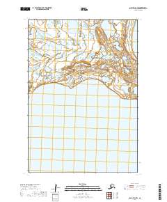
2019 Map of Ugashik C-3 SW
USGS Topo · Published 2019About this map
Upper Ugashik Lake and Lower Ugashik Lake dominate this portion of the Alaska Peninsula, where the landscape is defined by the massive aquatic corridor connecting these two bodies of water. The survey reveals a complex shoreline of small bays and peninsulas, particularly where the northern lake tapers toward its neighbor. This area, situated within the Lake and Peninsula Borough, showcases the natural hydrology of the region as it appeared in the early 21st century. The map provides a precise layout of the township and range boundaries, including t30s r47w and t31s r48w, which organize this largely untouched terrain of the Ugashik drainage system.
Find a feature on this map
6 named features on this map. Tap any name to fly to it.
Don’t see what you’re looking for? This feature index may not catch every label — zoom into the map to look around manually.
Map Details
Editions of this 2019 Ugashik C-3 SW Map
This is the sole edition of this map. No revisions or reprints were ever made.
Other maps of this area

1943 · Ugashik
USGS Topo · 1:250,000

1948 · Ugashik
USGS Topo · 1:250,000

1949 · Ugashik
USGS Topo · 1:250,000

1951 · Ugashik C-4
USGS Topo · 1:63,360

1951 · Ugashik B-3
USGS Topo · 1:63,360

1951 · Ugashik C-3
USGS Topo · 1:63,360

1954 · Ugashik B-4
USGS Topo · 1:63,360

1963 · Ugashik
USGS Topo · 1:250,000
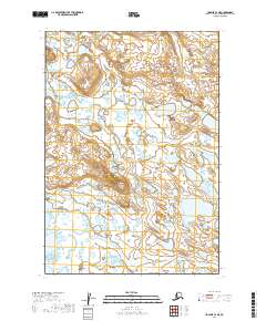
2019 · Ugashik C-4 NE
USGS Topo · 1:25,000
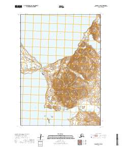
2019 · Ugashik C-3 SE
USGS Topo · 1:25,000