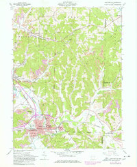
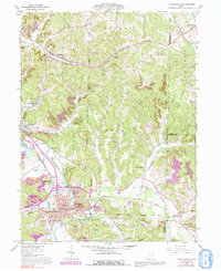
1961 Map of Uhrichsville
USGS Topo · Published 1978About this map
Uhrichsville and neighboring Dennison serve as the industrial anchors of this valley, where the convergence of Stillwater Creek and Little Stillwater Creek shaped the region's development. This survey reveals a landscape heavily marked by the extraction industry, with numerous Strip Mines and pits surrounding the rail-fed towns of Midvale, Barnhill, and Roswell. The presence of the Penn Central and Baltimore and Ohio railroads underscores the importance of coal transport during the mid-20th century.
Find a feature on this map
54 named features on this map. Tap any name to fly to it.
Don’t see what you’re looking for? This feature index may not catch every label — zoom into the map to look around manually.
Map Details
Editions of this 1961 Uhrichsville Map
5 editions found
Other maps of this area

1902 · Scio
USGS Topo · 1:62,500

1904 · Scio
USGS Topo · 1:62,500

1909 · Uhrichsville
USGS Topo · 1:62,500

1910 · Carrollton
USGS Topo · 1:62,500

1911 · Uhrichsville
USGS Topo · 1:62,500

1912 · Dover
USGS Topo · 1:62,500

1912 · Carrollton
USGS Topo · 1:62,500

1944 · Dover
USGS Topo · 1:62,500

1951 · Canton
USGS Topo · 1:250,000

1953 · Canton
USGS Topo · 1:250,000