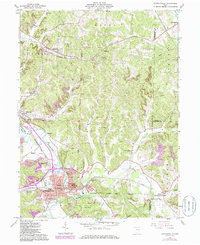
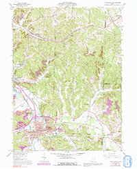
1961 Map of Uhrichsville
USGS Topo · Published 1985About this map
The industrial and transportation nexus of Uhrichsville and Dennison anchor this 1961 survey, showing a landscape shaped by coal mining and heavy rail. Situated along the Tuscarawas River and Stillwater Creek, these twin cities reveal a dense urban core supported by the Baltimore and Ohio Railroad and Conrail lines. Beyond the city centers, the terrain transitions into the steep ridges of Warren and Goshen, where numerous Strip Mines indicate the region's reliance on extractive industries. This map provides a detailed view of the United States Military District Boundary, which cuts through the central townships of Union and Orange. Notable community landmarks include the Twin City Hospital, Prosperity Grange Hall, and educational institutions like Central High Sch. The rural areas are dotted with local cemeteries such as St Marys Cem and Union Cem, alongside small settlements like Midvale, Barnhill, and Sherrodsville.
Find a feature on this map
52 named features on this map. Tap any name to fly to it.
Don’t see what you’re looking for? This feature index may not catch every label — zoom into the map to look around manually.
Map Details
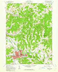
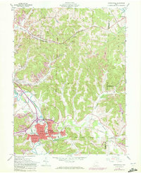
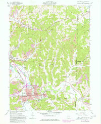
Editions of this 1961 Uhrichsville Map
5 editions found
Other maps of this area

1902 · Scio
USGS Topo · 1:62,500

1904 · Scio
USGS Topo · 1:62,500

1909 · Uhrichsville
USGS Topo · 1:62,500

1910 · Carrollton
USGS Topo · 1:62,500

1911 · Uhrichsville
USGS Topo · 1:62,500

1912 · Dover
USGS Topo · 1:62,500

1912 · Carrollton
USGS Topo · 1:62,500

1944 · Dover
USGS Topo · 1:62,500

1951 · Canton
USGS Topo · 1:250,000

1953 · Canton
USGS Topo · 1:250,000