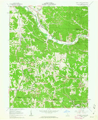
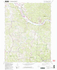
1961 Map of Union Furnace
USGS Topo · Published 1963About this map
Industrial activity and rural community life converge along the Hocking River in this early 1960s study of southeastern Ohio. The Chesapeake and Ohio railroad corridor serves as the primary artery for the region, connecting the brickmaking center of Haydenville—home to the local Kilns and the Haydenville Dam—with the small settlement at Union Furnace. Much of the landscape is dominated by the Wayne National Forest, where the topography is heavily marked by numerous strip mines, reflecting the era's reliance on coal extraction.
Find a feature on this map
46 named features on this map. Tap any name to fly to it.
Don’t see what you’re looking for? This feature index may not catch every label — zoom into the map to look around manually.
Map Details
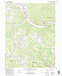
Editions of this 1961 Union Furnace Map
6 editions found
Other maps of this area

1903 · Athens
USGS Topo · 1:62,500

1904 · Zaleski
USGS Topo · 1:62,500

1905 · Athens
USGS Topo · 1:62,500

1907 · Zaleski
USGS Topo · 1:62,500

1907 · Logan
USGS Topo · 1:62,500

1909 · Logan
USGS Topo · 1:62,500

1911 · New Lexington
USGS Topo · 1:62,500

1947 · Columbus
USGS Topo · 1:250,000

1961 · Columbus
USGS Topo · 1:250,000

1961 · Nelsonville
USGS Topo · 1:24,000