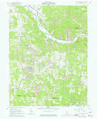
1961 Map of Union Furnace
USGS Topo · Published 1977About this map
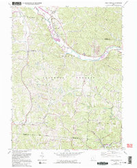
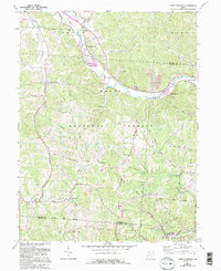
The Hocking River valley defines this industrial and agricultural landscape where extractive history meets the rugged ridges of the Hocking National Forest. The presence of several Strip Mines and industrial kilns near East Clayton speaks to the region's historical reliance on coal and clay. Transportation is anchored by the Chesapeake and Ohio railroad, which follows the river bend near Haydenville, a settlement marked by its own Haydenville Cem and nearby Green Sch.
Find a feature on this map
49 named features on this map. Tap any name to fly to it.
Don’t see what you’re looking for? This feature index may not catch every label — zoom into the map to look around manually.
Map Details
Editions of this 1961 Union Furnace Map
6 editions found
Other maps of this area

1903 · Athens
USGS Topo · 1:62,500

1904 · Zaleski
USGS Topo · 1:62,500

1905 · Athens
USGS Topo · 1:62,500

1907 · Zaleski
USGS Topo · 1:62,500

1907 · Logan
USGS Topo · 1:62,500

1909 · Logan
USGS Topo · 1:62,500

1911 · New Lexington
USGS Topo · 1:62,500

1947 · Columbus
USGS Topo · 1:250,000

1961 · Columbus
USGS Topo · 1:250,000

1961 · Nelsonville
USGS Topo · 1:24,000