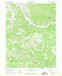
1961 Map of Union Furnace
USGS Topo · Published 1970About this map
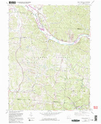
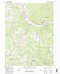
The Chesapeake and Ohio railway corridor follows the winding course of the Hocking River, anchoring the industrial and residential life of this corner of Hocking County in the early 1960s. The landscape is a mosaic of public land within the Wayne National Forest and active extraction sites, evidenced by multiple Strip Mine operations and Kilns near Haydenville. Small rural communities like Union Furnace and Starr are connected by a network of ridges, including Zion Ridge and Asbury Ridge, where local landmarks like the Mt Zion Ch and Lookout Tower stand. For genealogists, the map is particularly detailed regarding burial grounds, marking the Morris Chapel Cem, Morse Lewis Cem, and Connett Cem. The inclusion of a Drive-in Theater and Roadside Park reflects the mid-century expansion of recreational infrastructure alongside traditional mining and timbering.
Find a feature on this map
36 named features on this map. Tap any name to fly to it.
Don’t see what you’re looking for? This feature index may not catch every label — zoom into the map to look around manually.
Map Details
Editions of this 1961 Union Furnace Map
6 editions found
Other maps of this area

1903 · Athens
USGS Topo · 1:62,500

1904 · Zaleski
USGS Topo · 1:62,500

1905 · Athens
USGS Topo · 1:62,500

1907 · Zaleski
USGS Topo · 1:62,500

1907 · Logan
USGS Topo · 1:62,500

1909 · Logan
USGS Topo · 1:62,500

1911 · New Lexington
USGS Topo · 1:62,500

1947 · Columbus
USGS Topo · 1:250,000

1961 · Columbus
USGS Topo · 1:250,000

1961 · Nelsonville
USGS Topo · 1:24,000