
1962 Map of Utica
USGS Topo · Published 1962About this map
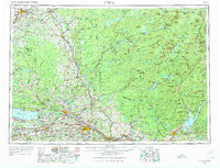
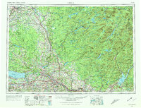
The Adirondack Mountains and the industrial Mohawk Valley anchor this 1962 region-wide survey. The post-war expansion of central New York is evident in the path of the New York State Thruway connecting the manufacturing centers of Utica, Rome, and Little Falls. To the west, the Tug Hill Plateau stands in contrast to the developed corridors of the New York Central railroad, while Watertown serves as a northern hub near the Black River.
Find a feature on this map
165 named features on this map. Tap any name to fly to it.
Don’t see what you’re looking for? This feature index may not catch every label — zoom into the map to look around manually.
Map Details
Editions of this 1962 Utica Map
3 editions found
Other maps of this area

1893 · Schenectady
USGS Topo · 1:62,500

1893 · Sackets Harbor
USGS Topo · 1:62,500

1895 · Chittenango
USGS Topo · 1:62,500

1895 · Sacketts Harbor
USGS Topo · 1:62,500

1895 · Oriskany
USGS Topo · 1:62,500

1895 · North Creek
USGS Topo · 1:62,500

1895 · Mt. Marcy
USGS Topo · 1:62,500

1895 · Pulaski
USGS Topo · 1:62,500

1895 · Watertown
USGS Topo · 1:62,500

1895 · Syracuse
USGS Topo · 1:62,500