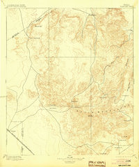
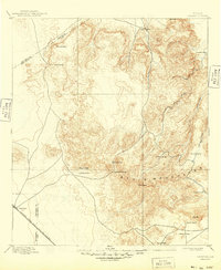
1897 Map of Valentine
USGS Topo · Published 1904About this map
The high desert and mountain ranching culture of West Texas is documented in this late 19th-century survey of the Davis Mountains. Centered on the sprawling livestock operations of the era, the map records numerous established family outposts such as Newman's Ranch, Evans' Ranch, and Prude's Ranch. The settlement of Valentine sits in the lower corner, serving as a vital stop along the Southern Pacific R. R. (G. H. and S. A. Div.), which provided the necessary link between these remote grazing lands and distant markets.
Find a feature on this map
25 named features on this map. Tap any name to fly to it.
Don’t see what you’re looking for? This feature index may not catch every label — zoom into the map to look around manually.
Map Details
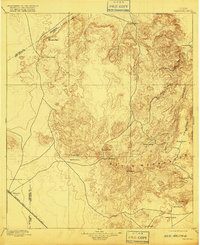
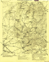
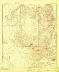
Editions of this 1897 Valentine Map
6 editions found
Other maps of this area

1892 · Chispa
USGS Topo · 1:125,000

1894 · Valentine
USGS Topo · 1:125,000

1894 · Fort Davis
USGS Topo · 1:125,000

1895 · Chispa
USGS Topo · 1:125,000

1895 · Marfa
USGS Topo · 1:125,000

1895 · Alpine
USGS Topo · 1:125,000

1896 · San Carlos
USGS Topo · 1:125,000

1897 · Valentine
USGS Topo · 1:125,000

1897 · Fort Davis
USGS Topo · 1:125,000

1897 · Chispa
USGS Topo · 1:125,000