
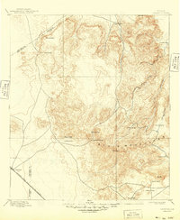
1897 Map of Valentine
USGS Topo · Published 1897About this map
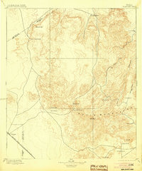
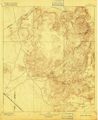
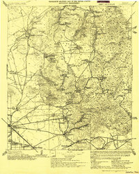
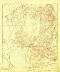
The high desert and mountain frontier of Far West Texas appear in this 1894 survey, dominated by the massif of the Davis Mountains. The rail-stop settlement of Valentine serves as the primary hub along the Southern Pacific R. R., marking a critical point for transport across the arid landscape. The map reveals an economy of isolated cattle outposts and family homesteads, with water sources determining the locations of Newman's Ranch, Prude's Ranch, and Evans Ranch situated far into the foothills.
Find a feature on this map
25 named features on this map. Tap any name to fly to it.
Don’t see what you’re looking for? This feature index may not catch every label — zoom into the map to look around manually.
Map Details
Editions of this 1897 Valentine Map
6 editions found
Other maps of this area

1892 · Chispa
USGS Topo · 1:125,000

1894 · Valentine
USGS Topo · 1:125,000

1894 · Fort Davis
USGS Topo · 1:125,000

1895 · Chispa
USGS Topo · 1:125,000

1895 · Marfa
USGS Topo · 1:125,000

1895 · Alpine
USGS Topo · 1:125,000

1896 · San Carlos
USGS Topo · 1:125,000

1897 · Fort Davis
USGS Topo · 1:125,000

1897 · Chispa
USGS Topo · 1:125,000

1906 · Van Horn
USGS Topo · 1:125,000