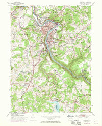
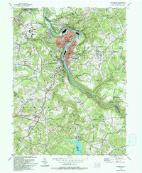
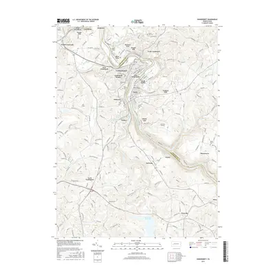
1953 Map of Vandergrift
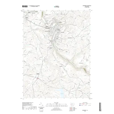
USGS Topo · Published 1970About this map
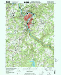
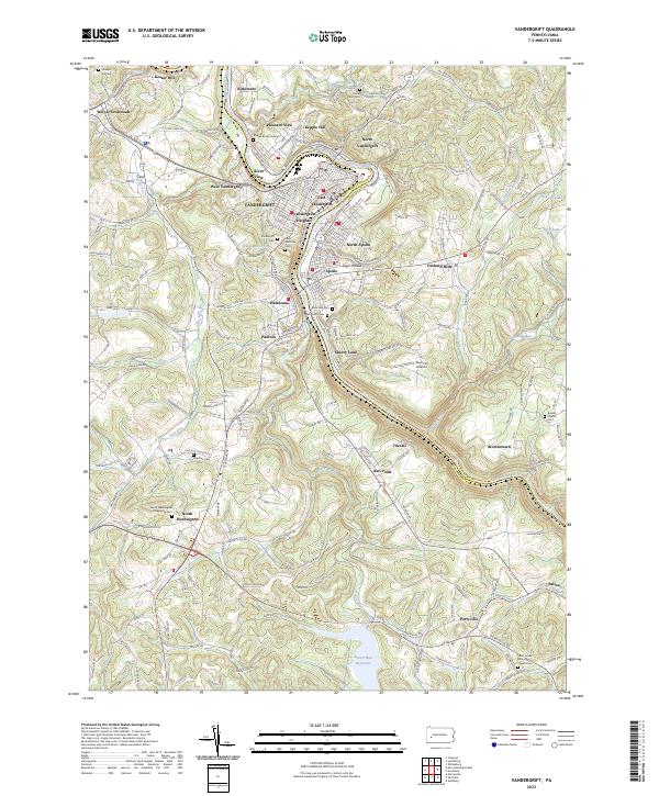
The Kiskiminetas River carves a sharp oxbow through this landscape, defining the industrial and social heart of Vandergrift and Apollo. Developed as a model industrial town, the area shows a dense concentration of schools and community landmarks like the Custer School and Saint George & Damian Shrine. To the west, the Fort Hand Historical Marker denotes the site of a Revolutionary War-era frontier outpost, grounding the modern steel-country topography in colonial history.
Find a feature on this map
68 named features on this map. Tap any name to fly to it.
Don’t see what you’re looking for? This feature index may not catch every label — zoom into the map to look around manually.
Map Details
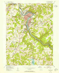
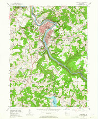
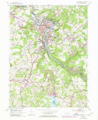
Editions of this 1953 Vandergrift Map
4 editions found
Historical Maps of Vandergrift Through Time
8 maps found
1953 Vandergrift
Westmoreland County, PA
1993 Vandergrift
Westmoreland County, PA
1998 Vandergrift
Westmoreland County, PA
2010 Vandergrift
Westmoreland County, PA
2013 Vandergrift
Westmoreland County, PA
2016 Vandergrift
Westmoreland County, PA
2019 Vandergrift
Westmoreland County, PA
2023 Vandergrift
Westmoreland County, PA