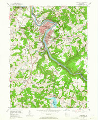
1953 Map of Vandergrift
USGS Topo · Published 1965About this map
The Kiskiminetas River carves a dramatic serpentine path through this landscape, defining the boundaries of Westmoreland, Allegheny, and Armstrong counties. In the early 1950s, the industrial character of Vandergrift and Apollo is clearly visible, with residential neighborhoods like East Vandergrift and North Vandergrift hugging the riverbanks. The survey captures the transition of the southern interior from agriculture to utility with the development of the Beaver Run Reservoir and the nearby Beaver Run Filtration Plant. Local heritage is anchored by landmarks such as the Saints Cosmas & Damian Shrine and the Fort Hand Historical Marker. The presence of numerous Strip Mines throughout the hills indicates the era's heavy reliance on coal extraction, while small schools like the Washington Twp High Sch and Troup Sch served the surrounding rural communities of North Washington and Paulton.
Find a feature on this map
53 named features on this map. Tap any name to fly to it.
Don’t see what you’re looking for? This feature index may not catch every label — zoom into the map to look around manually.
Map Details
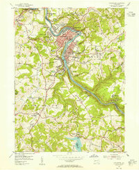
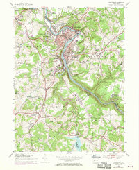
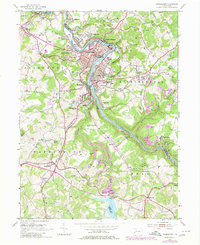
Editions of this 1953 Vandergrift Map
4 editions found
Other maps of this area

1900 · Latrobe
USGS Topo · 1:62,500

1902 · Latrobe
USGS Topo · 1:62,500

1902 · Elders Ridge
USGS Topo · 1:62,500

1903 · Latrobe
USGS Topo · 1:62,500

1904 · Elders Ridge
USGS Topo · 1:62,500

1904 · Greensburg
USGS Topo · 1:62,500

1906 · Greensburg
USGS Topo · 1:62,500

1907 · Freeport
USGS Topo · 1:62,500

1909 · Freeport
USGS Topo · 1:62,500

1953 · Pittsburgh
USGS Topo · 1:250,000