Loading...
Loading map...1961 Map of Venus
USGS Topo · Published 1979About this map
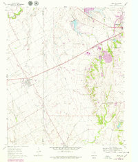
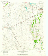
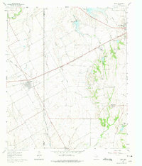
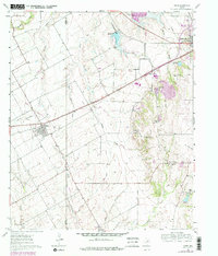
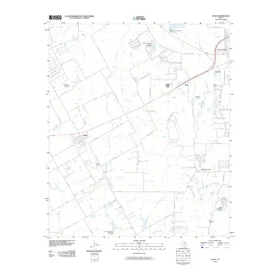
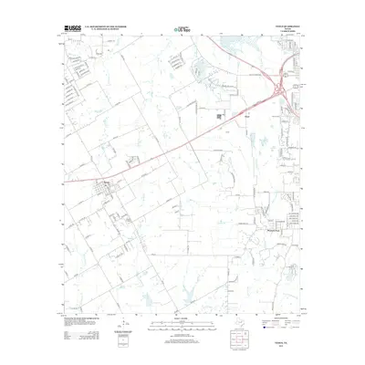
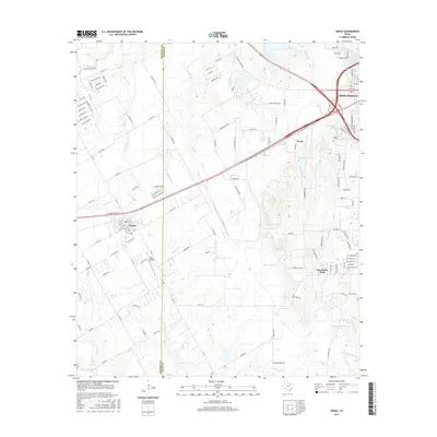
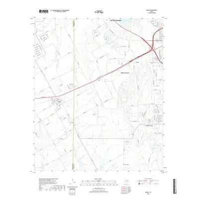
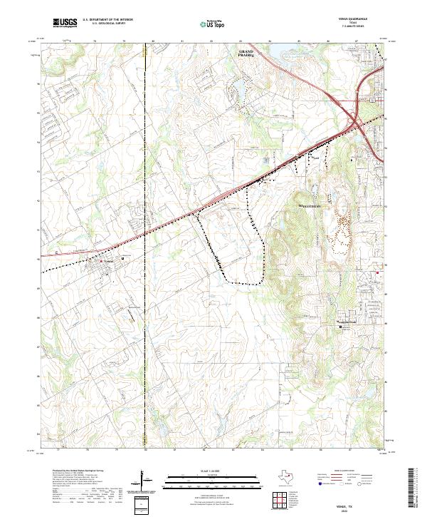
The boundary between Johnson and Ellis counties defines the center of this landscape, where the agricultural plains meet the industrial developments of the late 1970s. The Atchison Topeka and Santa Fe railroad serves as the primary artery for the region, passing through the town of Venus, while an Old Railroad Grade to the west suggests an older, superseded transit network. Near Mountain Peak, the landscape features a mix of rural community life and recreation, anchored by Hopewell Ch and Mountain Peak Cem.
Find a feature on this map
21 named features on this map. Tap any name to fly to it.
Don’t see what you’re looking for? This feature index may not catch every label — zoom into the map to look around manually.
Map Details
Date Portrayed1961
Date Published1979
PublisherU.S. Geological Survey
Map TypeTopographic
Scale1:24,000
Physical Dimensions23 x 26.9 inches
Editions of this 1961 Venus Map
4 editions found
Historical Maps of Grand Prairie Through Time
6 maps found
Featured Locations
Source Details
SourceU.S. Geological Survey
CopyrightPublic Domain