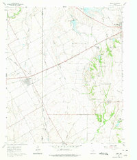
1961 Map of Venus
USGS Topo · Published 1975About this map
Agricultural lands along the Johnson Co Ellis Co line define this landscape during the early 1960s, showing a transition as the rail-centered towns of Venus and Midlothian began to evolve beyond their nineteenth-century footprints. The convergence of major rail lines, including the Missouri Pacific and the Gulf Colorado and Santa Fe, highlights the region's importance as a transportation corridor between regional hubs.
Find a feature on this map
27 named features on this map. Tap any name to fly to it.
Don’t see what you’re looking for? This feature index may not catch every label — zoom into the map to look around manually.
Map Details
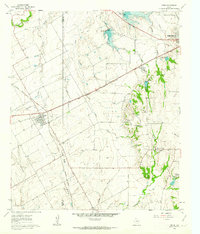
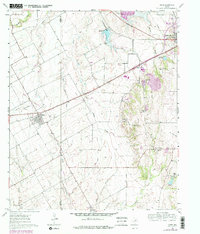
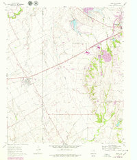
Editions of this 1961 Venus Map
4 editions found
Other maps of this area

1891 · Dallas
USGS Topo · 1:125,000

1891 · Cleburne
USGS Topo · 1:125,000

1893 · Dallas
USGS Topo · 1:125,000

1894 · Cleburne
USGS Topo · 1:125,000

1894 · Fort Worth
USGS Topo · 1:125,000

1954 · Dallas
USGS Topo · 1:250,000

1958 · Dallas
USGS Topo · 1:250,000

1959 · Cedar Hill
USGS Topo · 1:24,000

1959 · Britton
USGS Topo · 1:24,000

1959 · Mansfield
USGS Topo · 1:24,000