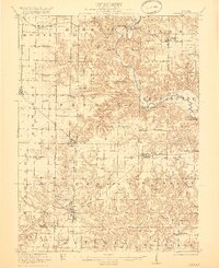
1921 Map of Vermont
USGS Topo · Published 1921About this map
Spoon River meanders through the heart of this central Illinois landscape, carving a deep valley that contrasts sharply with the organized grid of the surrounding prairies. Surveyed between 1916 and 1919, the map reveals a mature agricultural society anchored by rail-accessible towns like Vermont and Ipava. The Chicago Burlington and Quincy railroad serves as a primary transit artery, connecting rural grain centers to wider markets.
Find a feature on this map
81 named features on this map. Tap any name to fly to it.
Don’t see what you’re looking for? This feature index may not catch every label — zoom into the map to look around manually.
Map Details
Editions of this 1921 Vermont Map
2 editions found
Other maps of this area

1912 · Canton
USGS Topo · 1:62,500

1912 · Macomb
USGS Topo · 1:62,500

1914 · Macomb
USGS Topo · 1:62,500

1915 · Avon
USGS Topo · 1:62,500

1916 · Good Hope
USGS Topo · 1:62,500

1918 · Vermont
USGS Topo · 1:62,500

1918 · Good Hope
USGS Topo · 1:62,500

1921 · Vermont
USGS Topo · 1:62,500

1923 · Rushville
USGS Topo · 1:62,500

1925 · Havana
USGS Topo · 1:62,500