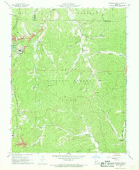
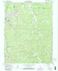
1967 Map of Viburnum East
USGS Topo · Published 1968About this map
Industrial development and forestry define this portion of the Ozarks during the late 1960s, a period marked by the expansion of the New Lead Belt. Viburnum Mine and the Magmont Mine stand as prominent landmarks of this era, supported by extensive Tailings ponds and an Air Shaft. The St Louis - San Francisco railroad connects these industrial sites to the wider region. In contrast to the heavy industry, much of the landscape is preserved within the Clark National Forest, where rural community life persists at Bixby and Good Water. A network of country cemeteries and small churches, such as Pleasant Grove Ch and Hickory Grove Ch, are scattered throughout the hollows of Dent, Iron, and Washington counties. The geography is characterized by intricate drainage systems like Courtois Creek and the Middle Fork Black River, which have carved deep valleys into the terrain.
Find a feature on this map
55 named features on this map. Tap any name to fly to it.
Don’t see what you’re looking for? This feature index may not catch every label — zoom into the map to look around manually.
Map Details
Editions of this 1967 Viburnum East Map
5 editions found
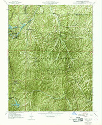
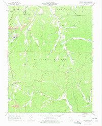
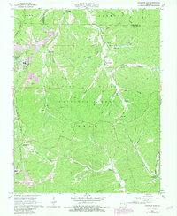
Other maps of this area

1906 · Potosi
USGS Topo · 1:62,500

1924 · Edgehill
USGS Topo · 1:62,500

1926 · Edgehill
USGS Topo · 1:62,500

1943 · Berryman
USGS Topo · 1:62,500

1943 · Boss
USGS Topo · 1:62,500

1945 · Berryman
USGS Topo · 1:62,500

1946 · Boss
USGS Topo · 1:62,500

1949 · Rolla
USGS Topo · 1:250,000

1953 · Rolla
USGS Topo · 1:250,000

1954 · Rolla
USGS Topo · 1:250,000