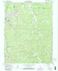
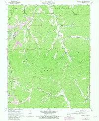
1967 Map of Viburnum East
USGS Topo · Published 1981About this map
The industrial operations of the Viburnum Mine and Magmont Mine anchor this landscape during a period of significant mining activity within the Mark Twain National Forest. The map documents a landscape transitioning through the mid-1960s and updated in the early 1980s, where traditional rural life and heavy industry coexist. Sparse settlements like Viburnum, Bixby, and Goodland are connected by the Burlington Northern railroad and a network of hollows, including Gunlock Hollow and Payne Hollow.
Find a feature on this map
50 named features on this map. Tap any name to fly to it.
Don’t see what you’re looking for? This feature index may not catch every label — zoom into the map to look around manually.
Map Details
Editions of this 1967 Viburnum East Map
5 editions found
Other maps of this area

1906 · Potosi
USGS Topo · 1:62,500

1924 · Edgehill
USGS Topo · 1:62,500

1926 · Edgehill
USGS Topo · 1:62,500

1943 · Berryman
USGS Topo · 1:62,500

1943 · Boss
USGS Topo · 1:62,500

1945 · Berryman
USGS Topo · 1:62,500

1946 · Boss
USGS Topo · 1:62,500

1949 · Rolla
USGS Topo · 1:250,000

1953 · Rolla
USGS Topo · 1:250,000

1954 · Rolla
USGS Topo · 1:250,000