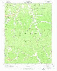
1967 Map of Viburnum East
USGS Topo · Published 1975About this map
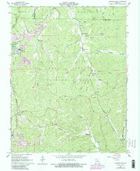
Industrial expansion meets the deep woods of the Clark National Forest in this 1967 survey of the Iron County region. The map highlights the early development of the Viburnum Trend, with the Viburnum Mine and Magmont Mine shown alongside large tailings ponds and associated infrastructure like an air shaft and substations. These modern industrial footprints contrast with the established rural landscape of the Missouri Ozarks, defined by narrow hollows and ridge-top settlements.
Find a feature on this map
54 named features on this map. Tap any name to fly to it.
Don’t see what you’re looking for? This feature index may not catch every label — zoom into the map to look around manually.
Map Details
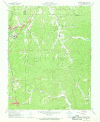
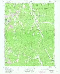
Editions of this 1967 Viburnum East Map
5 editions found
Other maps of this area

1906 · Potosi
USGS Topo · 1:62,500

1924 · Edgehill
USGS Topo · 1:62,500

1926 · Edgehill
USGS Topo · 1:62,500

1943 · Berryman
USGS Topo · 1:62,500

1943 · Boss
USGS Topo · 1:62,500

1945 · Berryman
USGS Topo · 1:62,500

1946 · Boss
USGS Topo · 1:62,500

1949 · Rolla
USGS Topo · 1:250,000

1953 · Rolla
USGS Topo · 1:250,000

1954 · Rolla
USGS Topo · 1:250,000